In modern environmental engineering, the demand for accurate, timely and sustainable data has never been higher. Whether in infrastructure development, environmental monitoring or construction site management - the quality of decisions depends largely on the quality of the data available.
While traditional surveying methods are reliable, they often require considerable time, human resources and direct access to complex or sensitive terrain. This is exactly where drone technology offers a decisive advantage - it enables faster, safer and more efficient data collection and analysis.
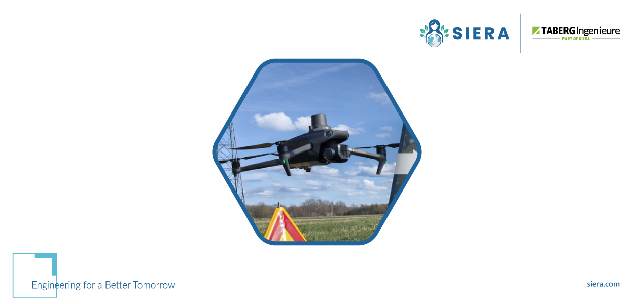
We are keeping pace with this development. Taberg Engineers GmbH– Member of the SIERA, uses modern drone systems to capture high-resolution data for a wide variety of projects.
From ground-based restrictions to airborne intelligence
Conventional fieldwork often means difficult terrain, safety risks and a great deal of time. Drone technology eliminates many of these challenges by Comprehensive perspective from the air.
Engineers can use drones:
- Capture large project areas in a much shorter time
- Safely analyse areas that are difficult to access or dangerous
- Reduce interference with the environment during data collection
- Obtain consistent and high-quality data for analyses
This shift from ground-based observation to an aerial perspective improves both the efficiency and the quality of decision-making.
Diverse applications in environmental engineering
The integration of drone technology into engineering processes opens up new possibilities in various areas.
Construction supervision and progress monitoring
Regular aerial surveys provide up-to-date insights into the construction progress and enable deviations to be recognised at an early stage.
Digital terrain models and 3D visualisation
High-resolution aerial data is converted into detailed terrain models and 3D visualisations.
Infrastructure and environmental projects
From power lines to waterway reorganisation, drones provide precise data for complex projects and at the same time enable the monitoring of sensitive environmental areas.
Detection of areas that are difficult to access
Steep terrain, dense vegetation or restricted zones can be reliably documented.
Further development of soil and environmental monitoring
A particularly important area of application for drone technology is in the Soil and environmental monitoring.
Regular aerial surveys can Taberg Engineers GmbH - Member of the SIERA recognise:
- Soil compaction due to construction activities
- Early signs of erosion
- Changes to the surface structure
This enables preventative measures and supports sustainable project goals.
Data as a basis for better decisions
Drone technology is not just about capturing data, it's about turning data into actionable insights.
By combining air data and analyses, Taberg:
- Precise and transparent documentation
- Reliable basis for decision-making
- Improved communication between project participants
The results are Reduced risks, optimised processes and better project results.
Innovation within SIERA
As a member of the SIERA works Taberg closely with partners and further and further SIERA member companies together. Together, they drive innovation and shape the future of environmental engineering.
Conclusion: A new perspective for engineering
Drone technology is changing the way projects are planned and realised.
With solutions from Taberg Engineers GmbH - Member of the SIERA takes data collection to a new level for better decisions and more sustainable results.
Visit the website of Taberg and SIERA, to find out more about innovative solutions.
Engineering For a Better Tomorrow.
As a member of SIERA, Taberg works closely with partners and other SIERA member companies.